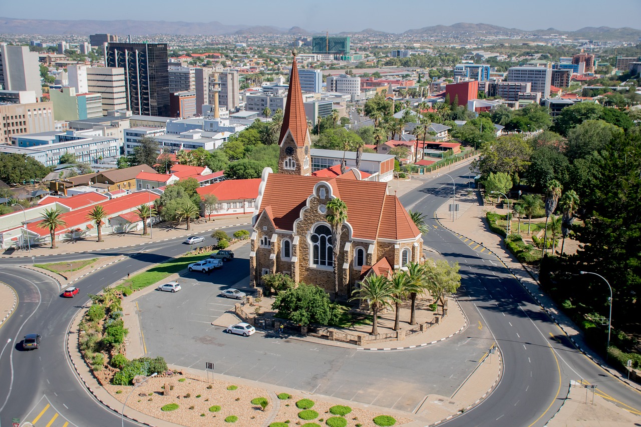
Windhoek is the capital and beating heart of Namibia, a city that surprises visitors with its orderliness, cleanliness and a peculiar blend of African, German and Afrikaner cultures. Set in a shallow basin among savanna-covered hills at around 1,650 metres above sea level, it enjoys a dry, sun-drenched climate for most of the year. The historic centre preserves some of the most striking evidence of the colonial era: the Christuskirche, a Lutheran church built in 1910 in a distinctive neo-Romanesque Gothic style, presides over the main square alongside the old Kaisers Palace and the Alte Feste fortress, now home to the National Museum of History. The Post Street Mall pedestrian zone offers local crafts, silver jewellery and souvenirs of every kind, while the neighbourhood markets — particularly those of Katutura, the lively township established during the apartheid era — give a genuine glimpse into everyday Namibian life. Downtown restaurants span a wide culinary range, from German classics (wurst, schnitzel and craft beer) to game grills, with local highlights such as oryx stew and traditional Herero dishes. Joe's Beerhouse is an informal institution for those who want to enjoy open-air barbecue in a relaxed atmosphere. Windhoek serves as the obligatory gateway to any Namibian safari: Hosea Kutako International Airport, around 40 km from the city centre, is the country's main hub and channels travellers towards the great reserves of the north and south. The city also hosts museums dedicated to pre-colonial history and the 1990 independence, contemporary African art galleries and accommodation of every category. While not a destination in its own right, Windhoek is worth at least a day's exploration: its contradictions — modernity and tradition, European heritage and African vitality — make it an authentic introduction to this country's unique character.
Auto
Giorno 2 — Windhoek → Waterberg
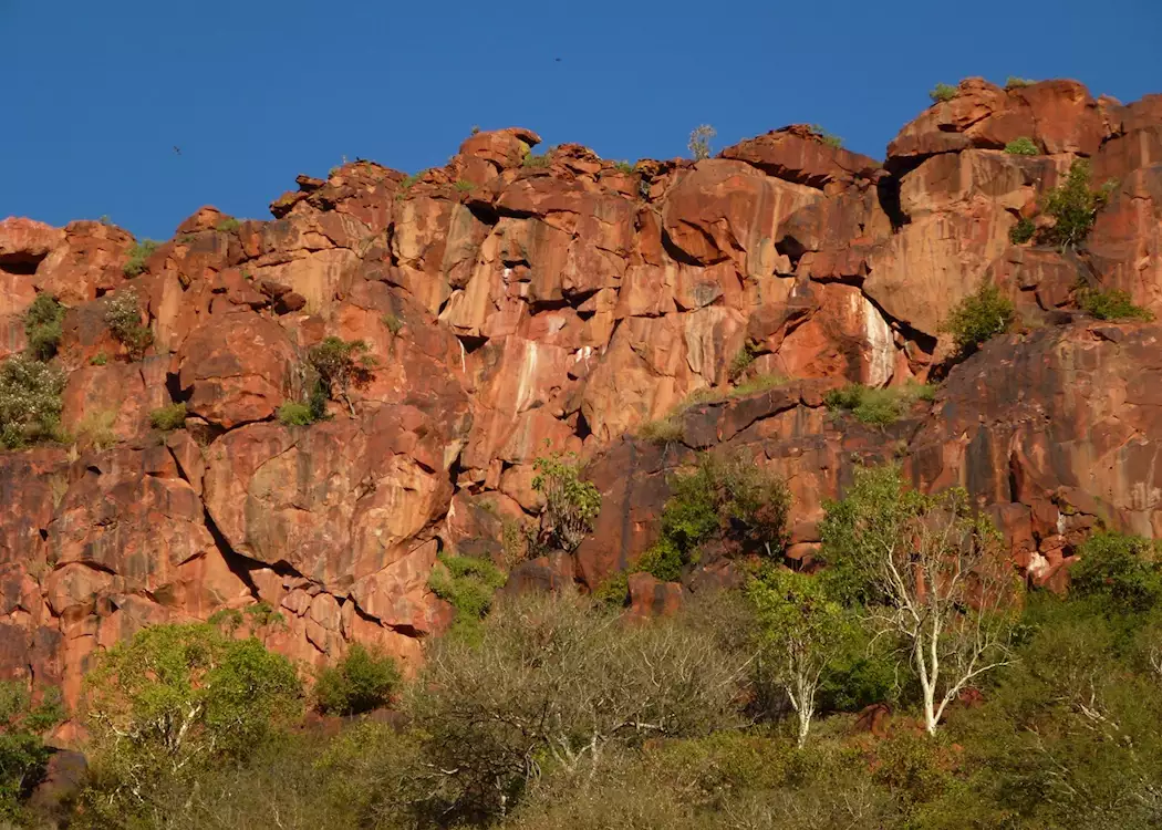
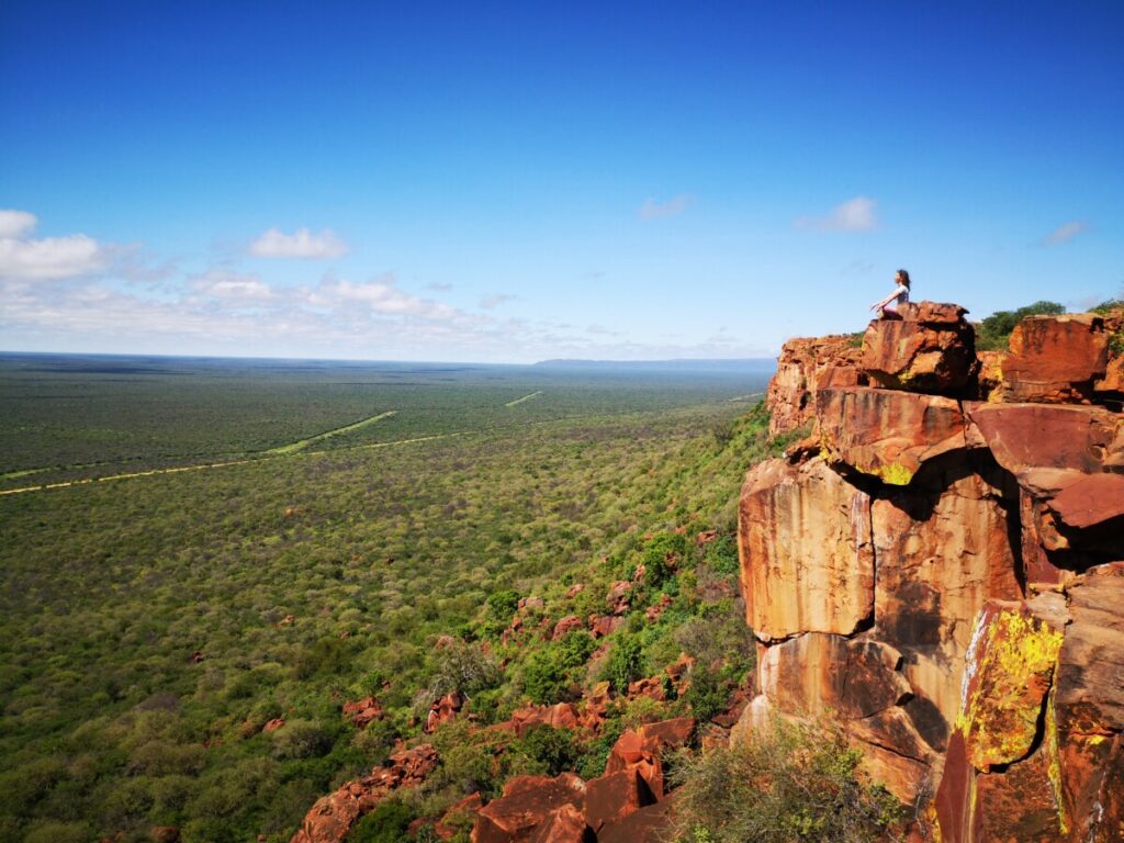
Waterberg Plateau Park is a massive red sandstone mesa that rises abruptly from the surrounding plains in central Namibia, with vertical escarpments up to 200 metres high on all sides, offering one of the most dramatic landscapes in the country. The plateau, accessible via a single trail on the southern side, is a wildlife sanctuary managed by the Ministry of Environment and Tourism, home to white and black rhinos, buffalo, sable antelope, roan antelope and leopards — many transferred here from other Namibian parks as part of a vulnerable species conservation programme. Waterberg is also an important historical site: nearby saw the Battle of Waterberg in 1904, a pivotal episode in the war between German colonial forces and the Herero people. The park's small museum documents this painful chapter of Namibian history. Guided walking trails across the plateau, through varied flora and a rich raptor community including vultures and Verreaux's eagles, are the main activity. Located around 90 km east of Otjiwarongo, Waterberg fits easily into circuits towards Etosha.
Auto
Giorno 3 — Waterberg → Etosha National Park
Etosha National Park is one of the great wildlife sanctuaries of southern Africa and Namibia's premier nature reserve, stretching across more than 22,000 square kilometres around a vast white salt pan — the Etosha pan — visible even from space. The name Etosha means 'great white place' in the Ovambo language, perfectly describing this ancient dried lake bed that, in the dry season, becomes the focal point around which the park's entire wildlife concentrates. Elephants, lions, leopards, cheetahs, wildebeest, zebras, oryx and the extremely rare black rhinoceros approach the waterholes in the morning and evening hours, making game drives here among the most productive on the continent. The park is divided into three main areas accessible from the official camps of Okaukuejo, Halali and Namutoni, each with a floodlit waterhole where animals can be watched at night from comfortable viewing terraces. Okaukuejo houses the park headquarters and an iconic waterhole frequented by black rhinos with remarkable regularity. Namutoni, at the eastern end, features Fort Namutoni, a restored former German colonial fortress dating from 1902, converted into a lodge. The vegetation alternates between mopane woodlands, open grasslands and salt flats along the edges of the pan, creating landscapes of stark, almost lunar beauty. The best season for wildlife is June to October, when rainfall is absent and animals gather at the waterholes. Etosha is accessible by private car or on organised safaris from Windhoek or Swakopmund, and is an unmissable experience for anyone visiting Namibia.
Auto
Giorno 5 — Etosha National Park → Opuwo
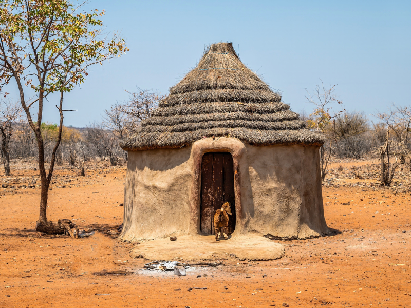
Opuwo is the regional capital of the Kunene Region, the most important inhabited centre in remote Kaokoland and the main supply point for travellers venturing into this wild corner of far north-western Namibia. The town has the character of a frontier outpost: dusty roads, a lively market, grocery stores and petrol stations mingle with the everyday presence of traditionally dressed Himba women who walk dozens of kilometres from rural communities to shop in town. The blend of African modernity and prehistoric tradition is more visible here than anywhere else: men in cowboy attire walk alongside Himba women with their elaborate ochre-coloured hairstyles. Opuwo serves as the logistical base for organising excursions to the Epupa Falls, Himba villages across the region and the otherworldly mountain landscapes of deeper Kaokoland.
Auto
Giorno 6 — Opuwo → Epupa Falls
Epupa Falls is a waterfall system on the upper course of the Kunene River, on the border between Namibia and Angola, in the heart of remote Kaokoland. The falls — up to 37 metres high at their main drop and spanning around 500 metres in total along a stretch of rapids — plunge into a series of green channels set between tall Makalani palms and baobab trees, creating a surprisingly lush oasis in an otherwise bare and mountainous landscape. The name 'Epupa' in the Himba language simply means 'foam of the water'. This corner of Namibia is inhabited by Himba communities and a visit to the falls is often combined with an authentic encounter with this people in their daily life. Access requires a 4x4 vehicle on dirt tracks from Opuwo. Sunset over the falls, with the waters gilded by raking light and palm trees silhouetted against the sky, is one of the most evocative scenes in north-western Africa.
Auto
Giorno 8 — Epupa Falls → Damaraland
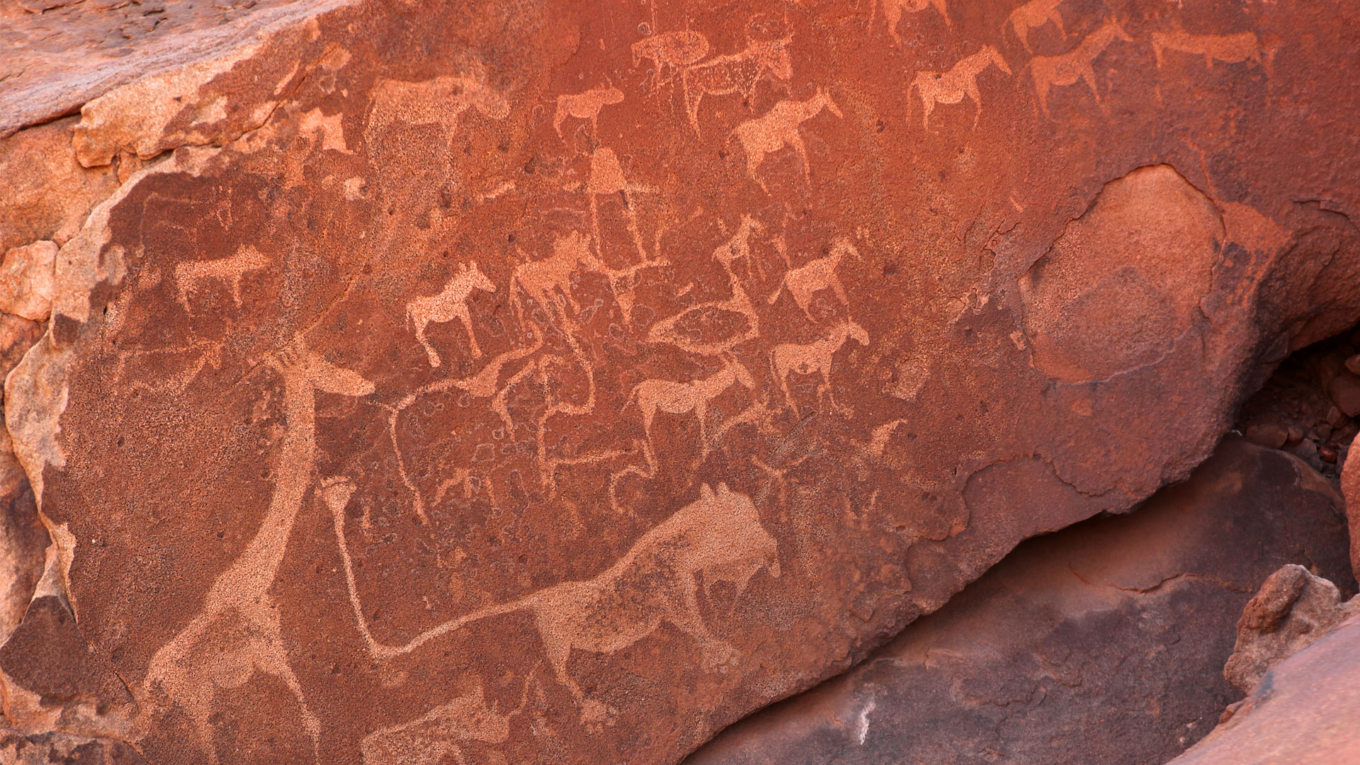
Damaraland is one of Namibia's most spectacular and untamed regions, a vast desert plateau in the centre-west of the country inhabited by the Damara people and traversed by landscapes of rare primordial beauty. Red granite mountains, valleys carved by seasonal rivers, rocky canyons and endless plains succeed one another for hundreds of kilometres, forming a scene of silent grandeur. This land preserves some of Namibia's most extraordinary heritage: at Twyfelfontein lies one of Africa's largest rock art complexes, with around 2,500 engravings and paintings made by the San people up to 6,000 years ago, designated a UNESCO World Heritage Site in 2007. The Burnt Mountain and the Organ Pipes, near Twyfelfontein, offer striking geological formations — columns of black dolerite rising from the ground like petrified organ pipes. Damaraland is also one of the few places in the world where it is possible to spot desert-adapted elephants — a population that has evolved to travel dozens of kilometres in search of water along seasonal riverbeds — and black rhinos roaming free in their natural habitat. The region's exclusive lodges, often built in perfect harmony with the landscape, organise walking-based tracking of these large mammals with specialist guides. Palmwag, in the northern part, serves as the base for safaris across an enormous private concession. Damaraland is best explored in a self-drive 4x4 or as part of a Namibian circuit linking Swakopmund, Etosha and the north of the country.
Auto
Giorno 10 — Damaraland → Swakopmund
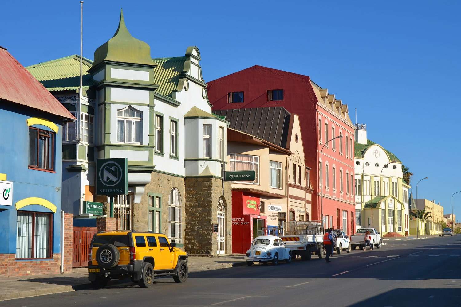
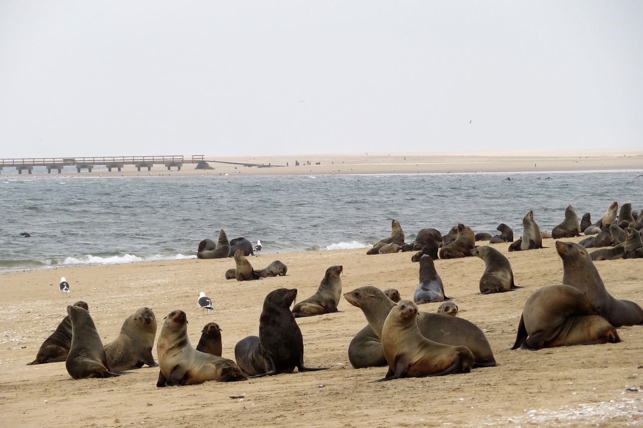
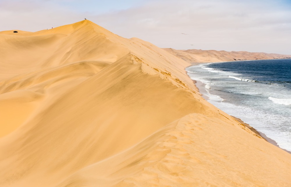
We leave the desert for the ocean: today's destination is Swakopmund, a curious city for the contrast between its typically German colonial architecture and the wild environment that surrounds it. Swakopmund is Namibia's main coastal city and one of the country's most fascinating destinations, renowned for its striking German colonial skyline that rises out of the desert right at the edge of the Atlantic Ocean. Founded in 1892 as a trading port during the German South West Africa protectorate, it preserves a remarkably intact Wilhelminian architecture: the Kaiserliches Bezirksgericht (former district court), the 1901 railway station, the Woermannhaus with its watchtower, and dozens of villas with decorative gables and white stucco give the town the appearance of a Bavarian village transposed into the African desert. The seafront and its pier — extending nearly 400 metres into the open sea — is the favourite gathering spot for residents and travellers at dusk. Swakopmund is also the adrenaline capital of Namibian adventure: quad biking and sandboarding on the Namib dunes just minutes from the centre, paragliding over the ocean beaches, kayaking among seal colonies at Walvis Bay, and night drives through the desert to spot scorpions and web-footed geckos. The Swakopmund Museum offers a comprehensive overview of the region's natural and colonial history, while the Kristall Galerie houses the world's largest quartz crystal (520 kg). Local gastronomy is heavily influenced by German cuisine: Kaffee und Kuchen in the historic town-centre cafés, fresh oysters and prawns from Walvis Bay, craft beer in the brewpubs. Swakopmund makes an ideal base for exploring the Skeleton Coast to the north, the Cape Cross reserve with its tens of thousands of Cape fur seals, and the vast Namib expanses stretching east.
Auto
Giorno 12 — Swakopmund → Sossusvlei
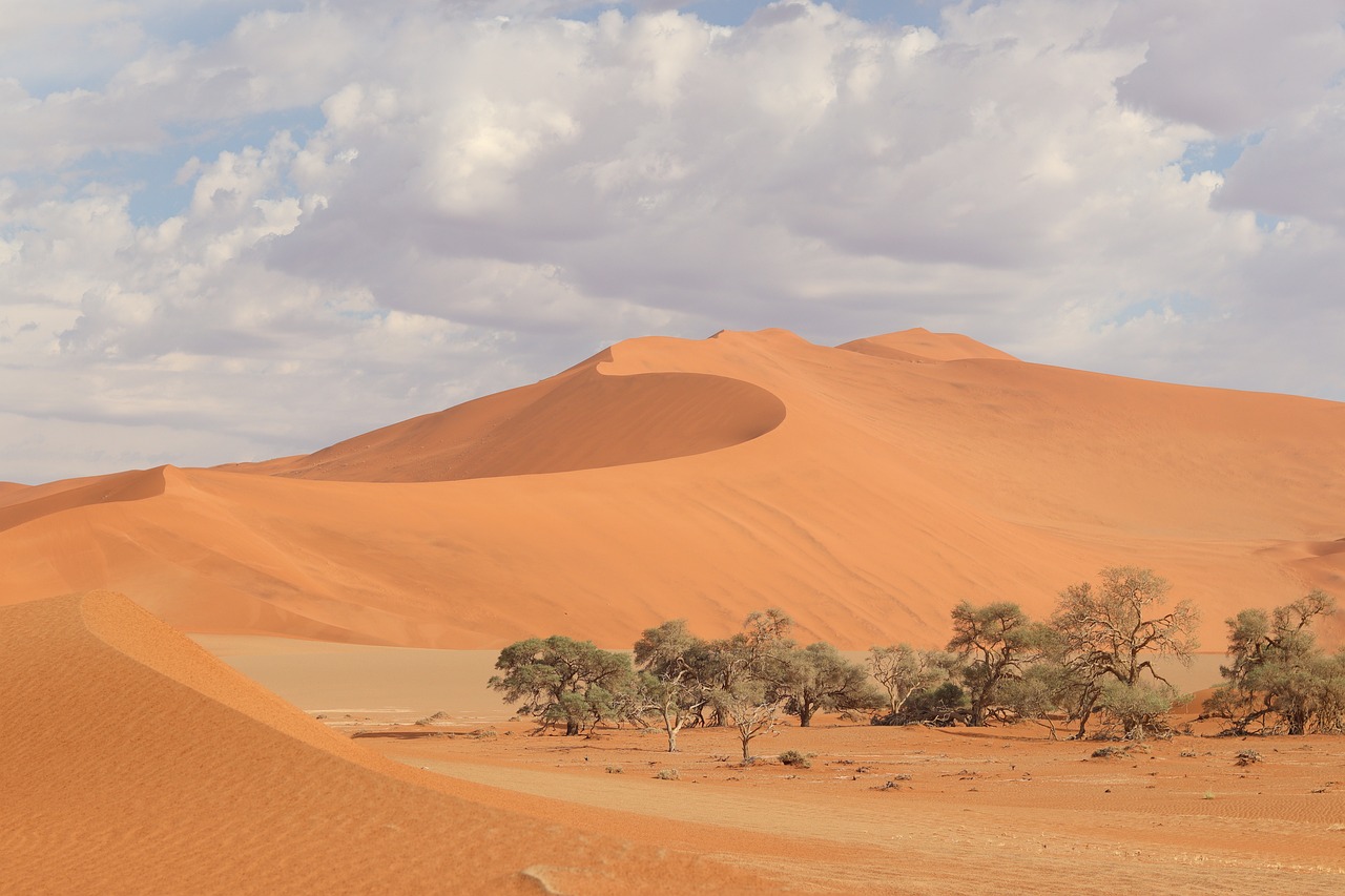
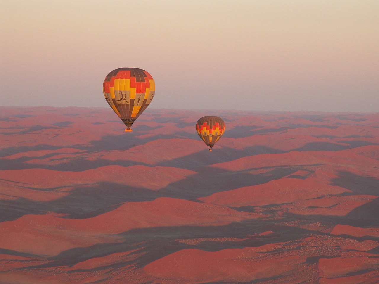
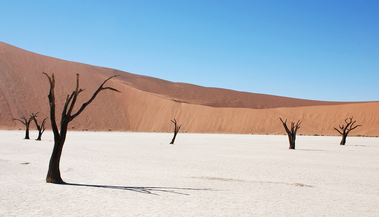
Sossusvlei is the iconic heart of the Namib-Naukluft National Park and one of the most photographed landscapes on the African continent, famous for its sand dunes — among the tallest in the world, some exceeding 300 metres — that turn deep red-orange at sunrise and sunset. The name means 'place where water collects but does not flow away' in the Nama language, referring to the white clay pan at the base of the dunes, flooded only in the rare years of heavy rainfall when the Tsauchab River manages to reach it. Adjacent to Sossusvlei lies Deadvlei — the 'dead valley' — a grey-white clay amphitheatre dotted with the carcasses of camel thorn trees (Acacia erioloba) that died over 900 years ago, their black skeletons rising in spectacular contrast against the red dunes and blue sky: one of Africa's most emblematic photographic subjects. The dune known as Big Daddy, around 325 metres high, can be climbed on foot and offers a breathtaking panorama of the entire valley from its summit. Dawn is the prime time to visit: the raking light sets the dune crests ablaze while shadows still saturate the valleys. Access is through Sesriem camp, the park's only entry point, where the main lodges and campsites are clustered. The distance from Sesriem to the Sossusvlei pan is around 65 km, the last five of which can only be covered in four-wheel-drive vehicles or on the park shuttles. Sossusvlei combines well with Fish River Canyon and a stop at Solitaire, a small desert outpost famous for its apple pies.
Auto
Giorno 14 — Sossusvlei → Luderitz
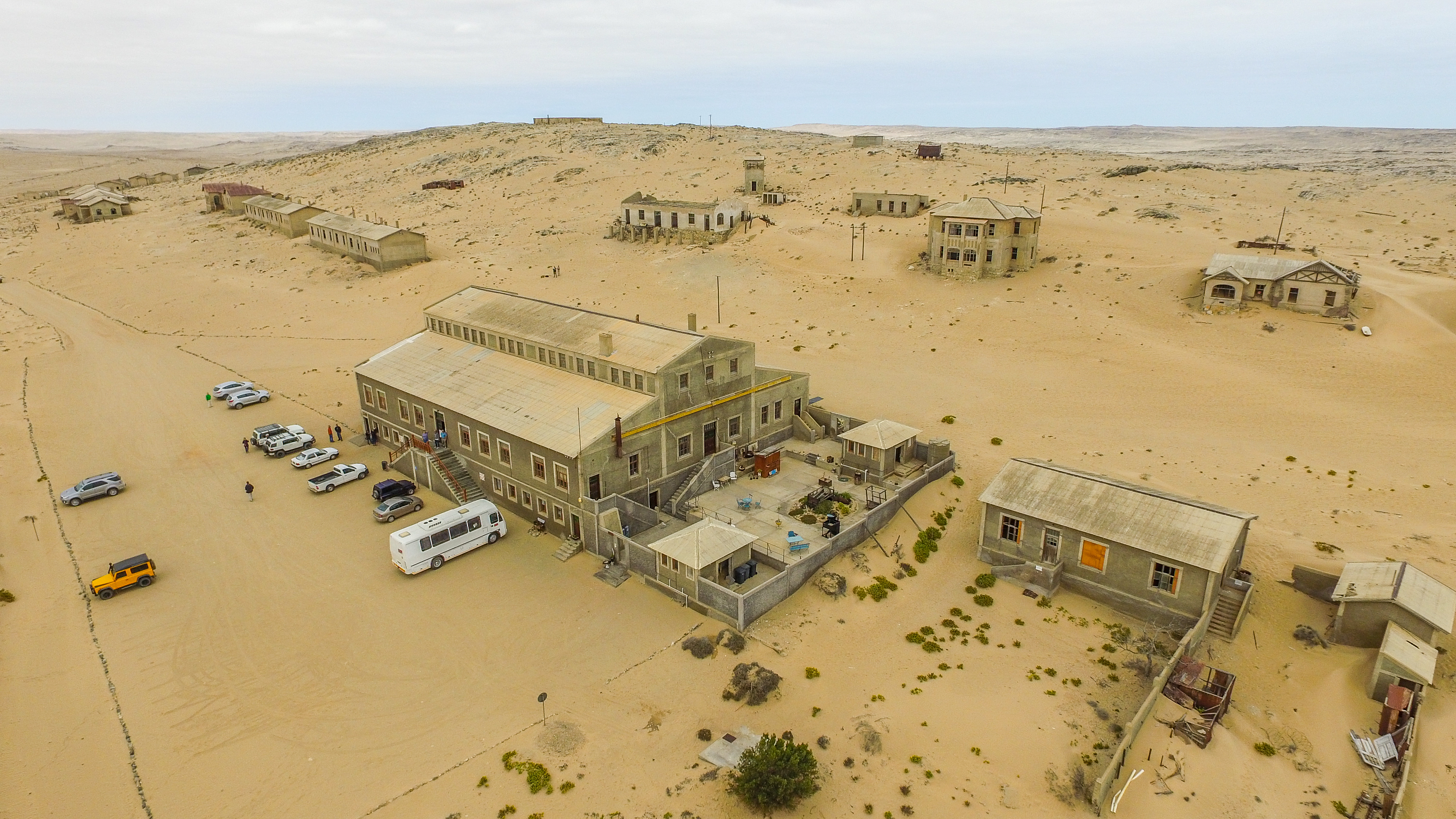
Lüderitz is a small port town on the far south-west coast of Namibia, set between rocky Atlantic cliffs and Namib dunes, with a ghost-town frontier atmosphere blending Art Nouveau and ornate German colonial architecture with the desolation of the ocean desert. Founded in 1883 by German merchant Adolf Lüderitz, it preserves buildings such as the Felsenkirche (1912), the Goerke Haus and the colourful houses of the historic Diamantberg quarter. Near the town lies Kolmanskop, a diamond mining ghost town abandoned in 1956 and now partially swallowed by sand dunes: a hauntingly photogenic site open to guided morning visits. The Atlantic Ocean, with its icy waters and morning fog, creates a surreal contrast with the desert behind, while the Lüderitz Peninsula offers sightings of African penguins, brown hyenas and flamingos in the lagoon.
Auto
Giorno 15 — Luderitz → Fish River Canyon
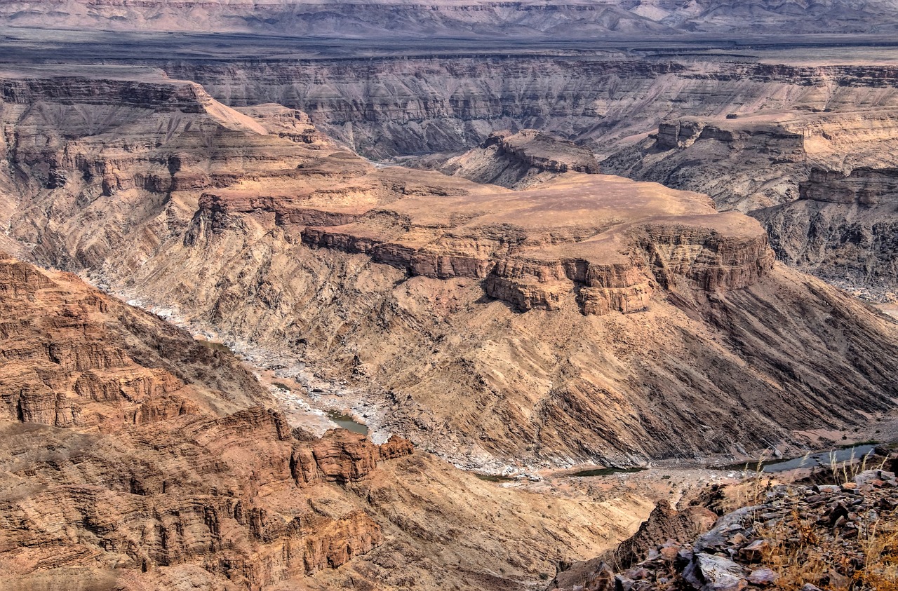
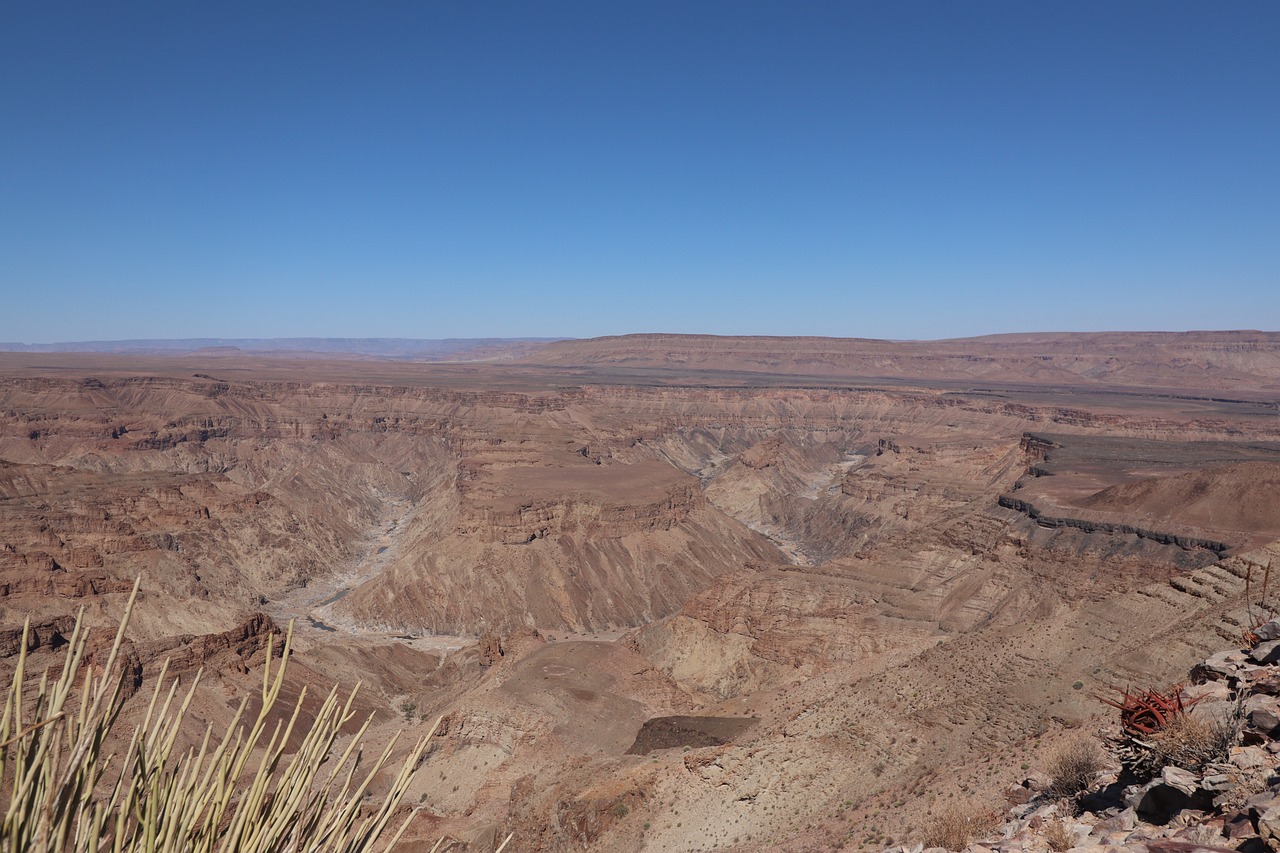
Fish River Canyon is one of the largest canyons in the world and the second deepest gorge on the African continent after the Grand Canyon: approximately 160 km long, up to 27 km wide and more than 550 metres deep, it has been carved by the Fish River into the semi-arid plateau of southern Namibia, within the Ai-Ais/Richtersveld Transfrontier Park. The viewpoints along the canyon's southern rim — reachable by car — offer breathtaking views of the sheer gorge and the river's meanders snaking along the valley floor during the dry season. The Fish River Canyon Hiking Trail, one of the most celebrated treks in southern Africa, covers the entire canyon over five days of walking (around 90 km), and is open only between May and September for climatic safety reasons. The spa village of Ai-Ais, at the foot of the canyon, features sulphurous hot springs and thermal pools that Namibians visit as a relaxation retreat at the end of summer. The canyon is often visited in combination with Lüderitz and Sossusvlei as part of the classic southern Namibia circuit.
Auto
Giorno 17 — Fish River Canyon → Kalahari Desert
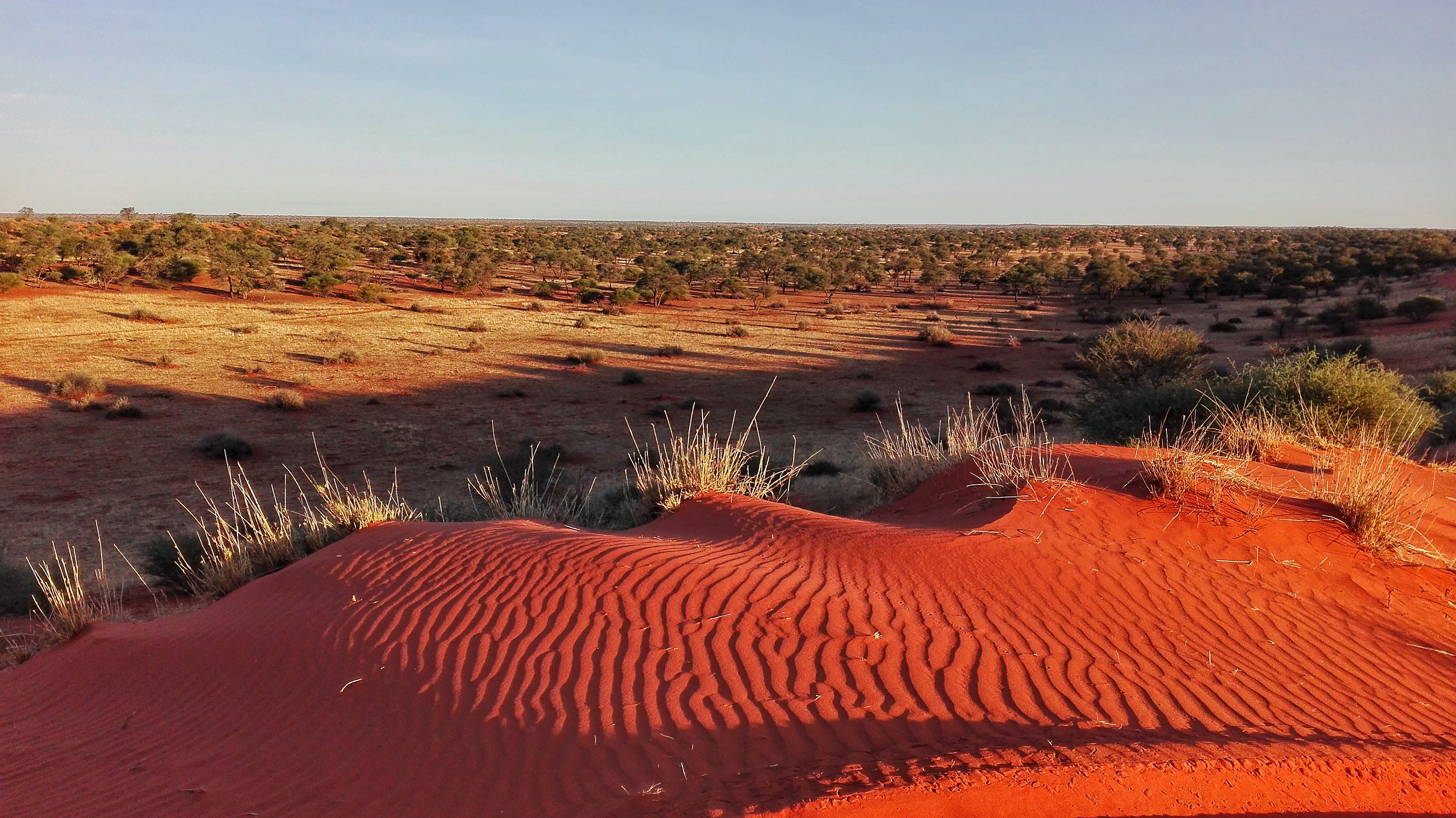
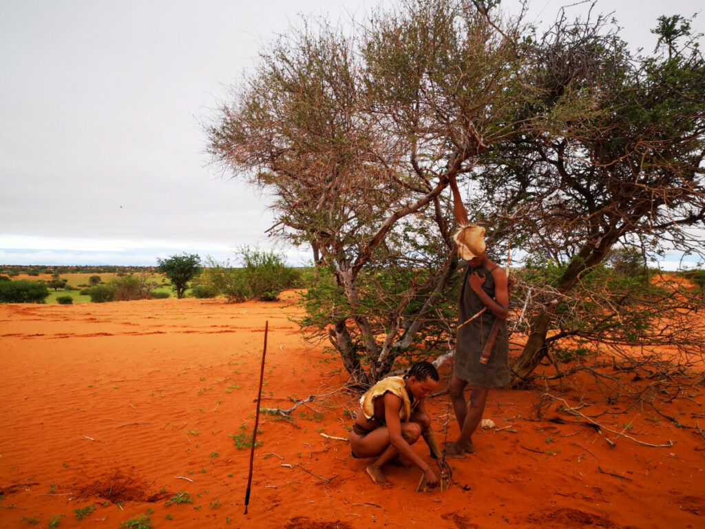
The Namibian Kalahari spreads across the southern and south-eastern part of the country, a vast semi-arid basin of reddish dunes anchored by vegetation where the shrub savanna creates landscapes of silent, desert beauty. Despite what its name might suggest, it is not a true desert: rainfall, though sparse and irregular, supports a vegetative cover of acacia trees, Kalahari grass and thorny shrubs that sustain a surprisingly rich wildlife. Gemsbok (oryx), wildebeest with paler coats than their southern subspecies counterparts, jackals, mongooses and a variety of raptors move among the dunes in a scene of boundless tranquility. The Kalahari Gemsbok National Park, shared with Botswana and South Africa in the Kgalagadi Transfrontier Park, offers safaris among some of the most iconic red dunes in southern Africa, with sightings of black-maned lions that have adapted to arid conditions. The luxury lodges and tented camps in Namibia's Kalahari region organise dawn game drives, guided walks with San bushmen to learn traditional survival techniques, and nights under skies of extraordinary clarity, far from any light pollution. The Namibian Kalahari is an ideal choice for travellers seeking solitude, cultural authenticity and African landscapes less visited than the great parks of the north.
_20260615155039.png)
_20260615155040.png)
_20260615155040.png)