Giorno 1 — Santiago of Chile
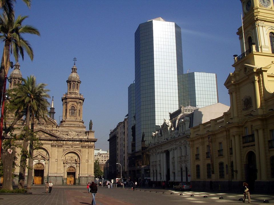
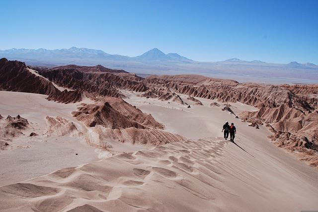
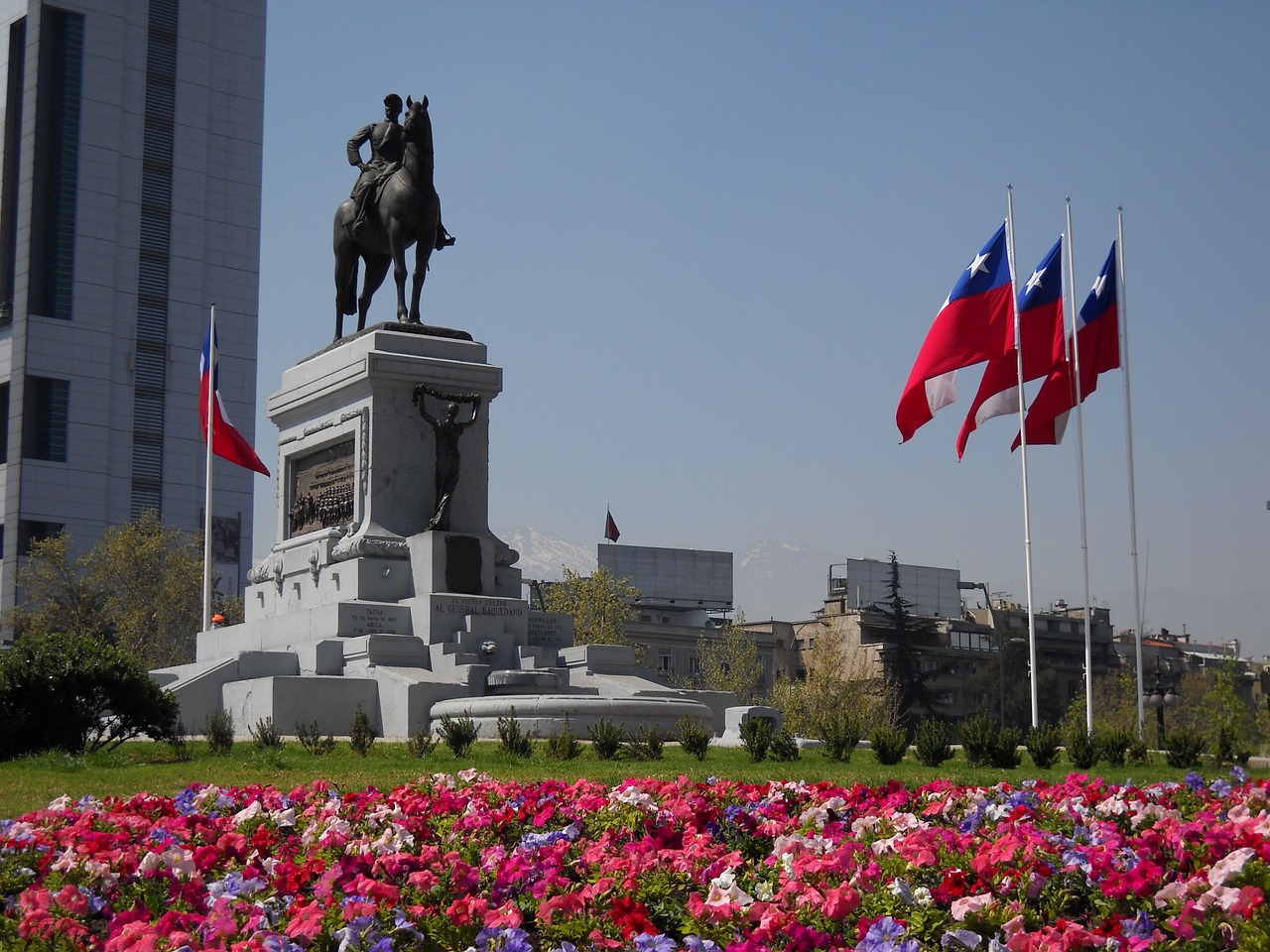
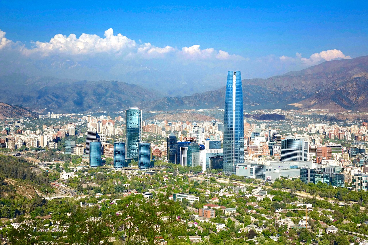
Santiago de Chile spreads across an elevation of over 500 metres at the foot of the Andes, with the snow-capped peaks of the Cordillera rising on the horizon like a permanent, almost surreal backdrop. Founded in 1541 by Pedro de Valdivia, the Chilean capital is today a modern, cosmopolitan metropolis of over seven million inhabitants, capable of surprising visitors with the variety of its neighbourhoods, its cultural vitality and quality of life. The historic centre revolves around the Plaza de Armas, flanked by the Catedral Metropolitana, the Palacio de la Real Audiencia and the Museo Histórico Nacional — a few blocks are enough to retrace five centuries of colonial and republican history. Nearby, the Barrio Lastarria is a bohemian hub of art galleries, antiquarian bookshops and cafés open late into the night; the Barrio Italia enchants with its vintage design shops, fusion restaurants and murals that turn walls into open-air canvases. The Cerro Santa Lucía, a small hill in the heart of the city, offers a stroll through romantic gardens and panoramic viewpoints, while the Cerro San Cristóbal — reachable by funicular or on foot — rewards climbers with a 360-degree view of the entire metropolitan area. The lively, colourful Bellavista neighbourhood is home to the house-museum of Pablo Neruda, La Chascona, where the Chilean poet lived among storytelling objects, coloured bottles and a garden of curiosities. Upscale shopping concentrates in the modern Barrio Providencia and leafy Vitacura, where international boutiques share space with craft markets and tree-lined parks. The gastronomic scene is among the most dynamic in South America: from corvina ceviche to pasteles de choclo, from empanada de pino to lomo a lo pobre, Chilean flavours find accomplished interpreters in Santiago's restaurants, blending tradition and creativity. The markets of La Vega Central and Mercado Central offer an immersion in authentic Chile, amid aromatic herbs, exotic fruits and the freshest fish from both oceans. Santiago is also an ideal base for day trips: the wineries of the Maipo Valley to the south, the Valparaíso and Viña del Mar riviera to the west, and the ski slopes of Valle Nevado and Portillo to the east. An efficient metro network makes it easy to move between neighbourhoods, and the city boasts a first-rate museum offering, from the Museo Nacional de Bellas Artes to the Museo de la Memoria y los Derechos Humanos. Santiago de Chile is a capital that never ceases to astonish, weaving Andean grandeur with the irrepressible energy of a young city in perpetual transformation.